Accessibility & services
Settlement accessibility vulnerability atlas
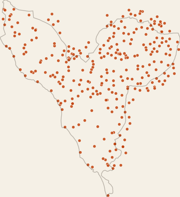
Access
Download ↓ View on map →Dataset
- Format
- GeoJSON
- Geometry
- Point
- Features
- 290
- Size
- 284 KB
- Geographic extent
- 14°03′N - 14°41′N · 17°08′W - 16°31′W
Statistics
- Point count
- 290
Theme
Attribute fields
- village_id
- text
- village_name
- text
- commune
- text
- place_type
- text
- source
- text
- source_region
- text
- source_department
- text
- source_arrondissement
- text
- source_commune_reference
- text
- schools_min
- number
- health_min
- number
- markets_min
- number
- major_centers_min
- number
- schools_rank_pct
- number
- health_rank_pct
- number
- markets_rank_pct
- number
- major_centers_rank_pct
- number
- access_vulnerability_index_pct
- number
- vulnerability_class
- text
- dominant_constraint
- text
- constraint_count
- number