Diagnostic & synthèse
Sols stratégiques proches des forages
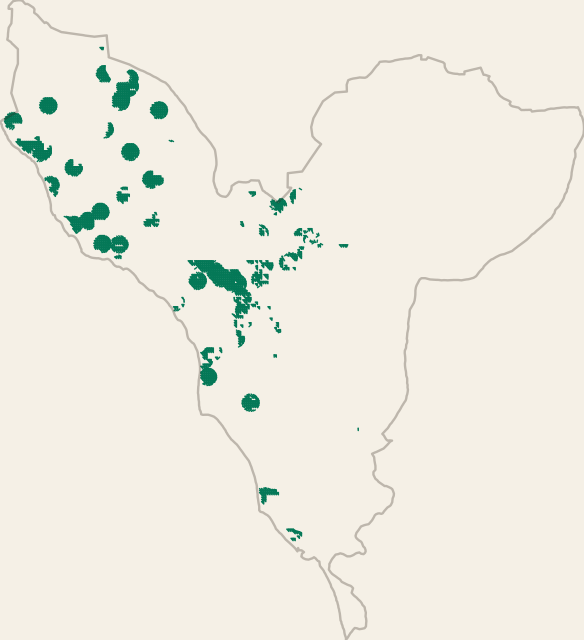
Fiche
- Format
- GeoJSON
- Géométrie
- Polygone, Multi-polygones
- Entités
- 1 903
- Poids
- 1,4 Mo
- Étendue géographique
- 14°09′N - 14°40′N · 17°08′O - 16°45′O
Statistiques
- Superficie médiane
- 6,5 ha
- Superficie totale
- 9 456 ha
Thème
Champs d'attributs
- lon
- nombre
- lat
- nombre
- pixel_area_ha
- nombre
- sand_pct_0_30
- nombre
- clay_pct_0_30
- nombre
- soc_gkg_0_30
- nombre
- cec_cmolc_0_30
- nombre
- ph_h2o_0_30
- nombre
- texture_code
- nombre
- constraint_code
- nombre
- soil_quality_score
- nombre
- soil_quality_pct
- nombre
- best_soil_hotspot
- nombre