SOR4D / DyTAEL Project
Mbour Department Geoportal
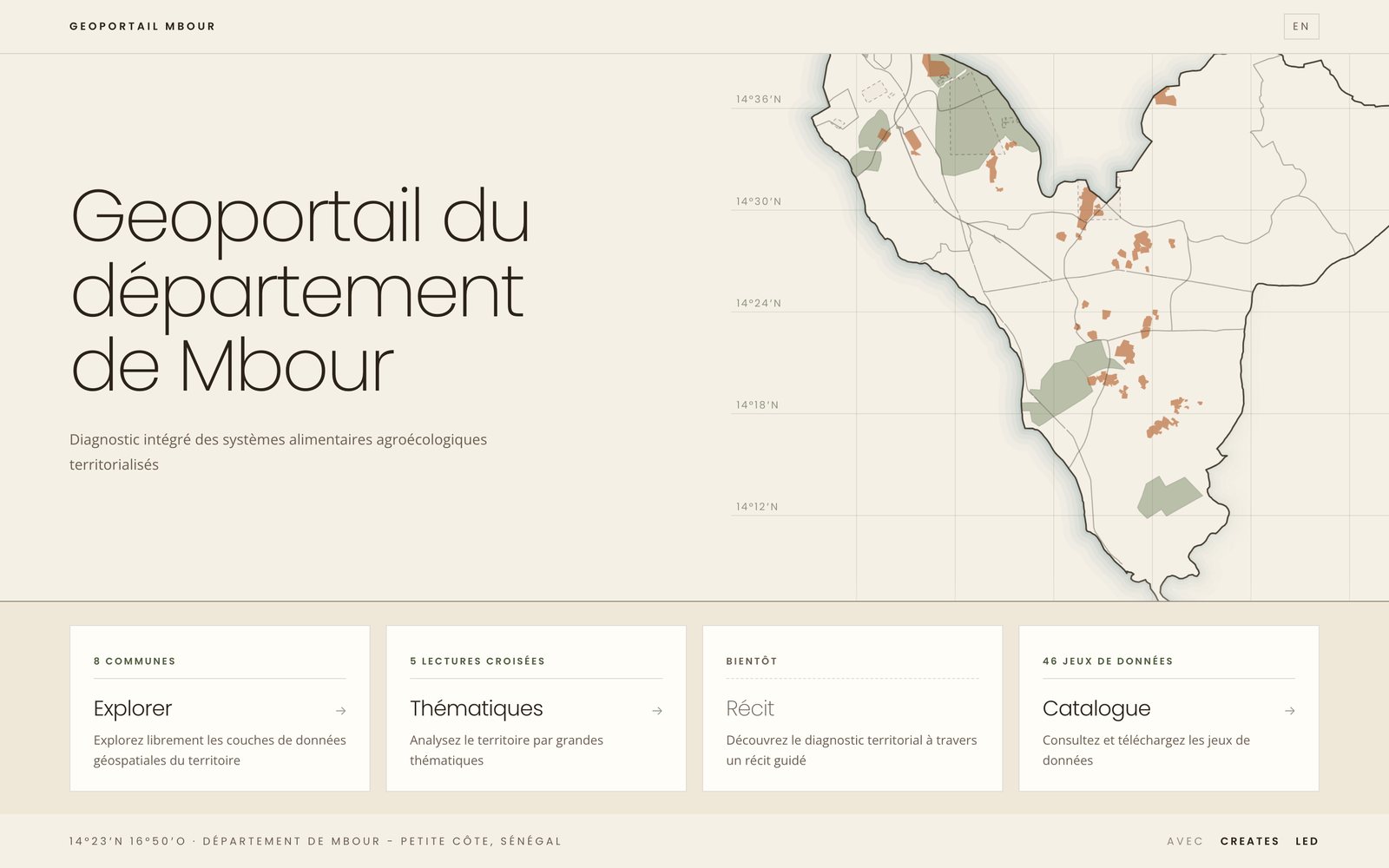
The territorial diagnostic of food systems in Mbour - Petite Côte, as an interactive map. It brings together land, classified forests, agribusiness, extractive industry, water, infrastructure and population to show where pressures on farmland concentrate.
-
Explore
Every layer of the territory, on a satellite or street basemap, to combine freely.
-
Themes
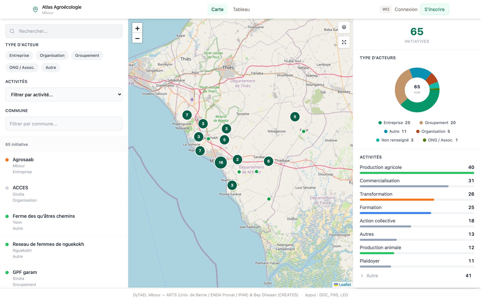
Five guided readings: agribusiness, encroached classified forests, pressure hotspots, agroecological initiatives, exposed population.
-
Catalogue
The portal datasets, to browse and download.
Open the geoportal In French and English